Back to Gravel Roads...
I am making the days notes as the moon rises and the stars
begin to come out. I arrived at the
Green River Lake late in the day, so darkness is setting in.

This is my favorite picture of the day. It turns out that when Juniper stands experience a wildfire, the dead wood bleaches out and what is left is this really striking silver white stand of trees. This particular stand is in the hills over the Flaming River Gorge Dam.
I left Steamboat mocha in hand around eight this morning and
headed off on high way 40 towards Utah.
The plan was to grab Colorado 318 at Mayfair and that would take me into
Utah at the Flaming Gorge Reservoir, which looked like an interesting spot to
explore. The car was dusty from
yesterday’s adventure in the Rocky Mountain National Park, so I stopped along
the way and ran it through a quick wash.
The interior was still a bit dusty, but I figured I would deal with that
later in the day.
The route in the morning followed the Yampa River. I discovered that I could make voice notes
with my phone, though my diction is such that they are rather cryptic and
baffling. It is useful for keeping
track of things I want to note since my memory is such that lots of things get
forgotten. So, baffling or forgotten
seem to be my choices. Something I said was translated as cannabis, so I think the phone knows I'm in Colorado.
 The river valley
was very green, with an abundance of deciduous trees and an absence of the dry
sage brush look that covers most of the terrain I’ve been traveling. I can’t recall driving on a road that
actually stayed down in a river valley before, so that probably accounts for a
lot of it. It was a lovely drive. The Yampa flows into the Colorado, so my
journey both days has focused on the Colorado watershed.
The river valley
was very green, with an abundance of deciduous trees and an absence of the dry
sage brush look that covers most of the terrain I’ve been traveling. I can’t recall driving on a road that
actually stayed down in a river valley before, so that probably accounts for a
lot of it. It was a lovely drive. The Yampa flows into the Colorado, so my
journey both days has focused on the Colorado watershed.
Eventually the road climbed up to the north and out of the
Yampa valley and, boom, sage brush and juniper is all there is to see. The terrain is dramatic, but its pretty
barren. I’m making good time and heading
west when the Utah line appears and the pavement on my route suddenly
ends. Gravel. I hate gravel.

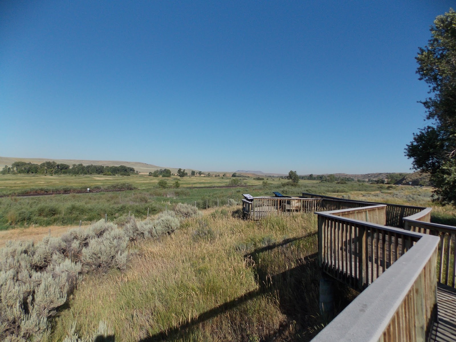
It would appear that I am in a wildlife refuge of some kind,
but also that the road is marked with lots of information about a gas
pipeline. Gas installations of some kind
appear (these will become ubiquitous later in the day when I pass

Highway 191 ran down to the Flaming Gorge dam, which stops
the flow of the Green River and creates an enormous lake in this canyon. The name Flaming Gorge comes from the
colorful rocks which line much of the lower canyon. I drove around the south side of the

I continued up the west side of the Green River and, as the
helpful young man at the visitor center predicted, I was soon back in Wyoming
sage. The drive from Flaming Gorge to
Big Piney has nothing to recommend it, just something to get over with. I stopped at the ranger station in Kemmerer, (home of the original JC Penney store, by the way) and
the ranger there recommended that if I wanted to see Bridger National Forest, I

Not to mention that the road truly sucked. The gravel road ranged from washboard, to
rock strewn, to oiled and smooth. My
speed ranged from 8 to 45. And it went
on and on and on. I started noting
places I could stop if I gave up, and there were several really cool
spots. The road was going to have to
bend around to the east and then turn south, and slowly but surely the river
and road made its turn. At one point in
this section I saw two deer wading through the river. Then, as the road turned south, huge cliffs
started rising up and moving in. By the
time I finally found the campground at the lake, I was surrounded by high peaks
rising dramatically around me. It was
quite a haul to get in here, and the sun had set by the time I arrived so I
will have to take a hike and get pictures in the morning.
I am going to experiment with sleeping in the car
tonight. I set up the air matress on one
side of the back with the seats folded down.
We’ll see how that works.


Comments